A beautiful walk through the Valley of the Mills.
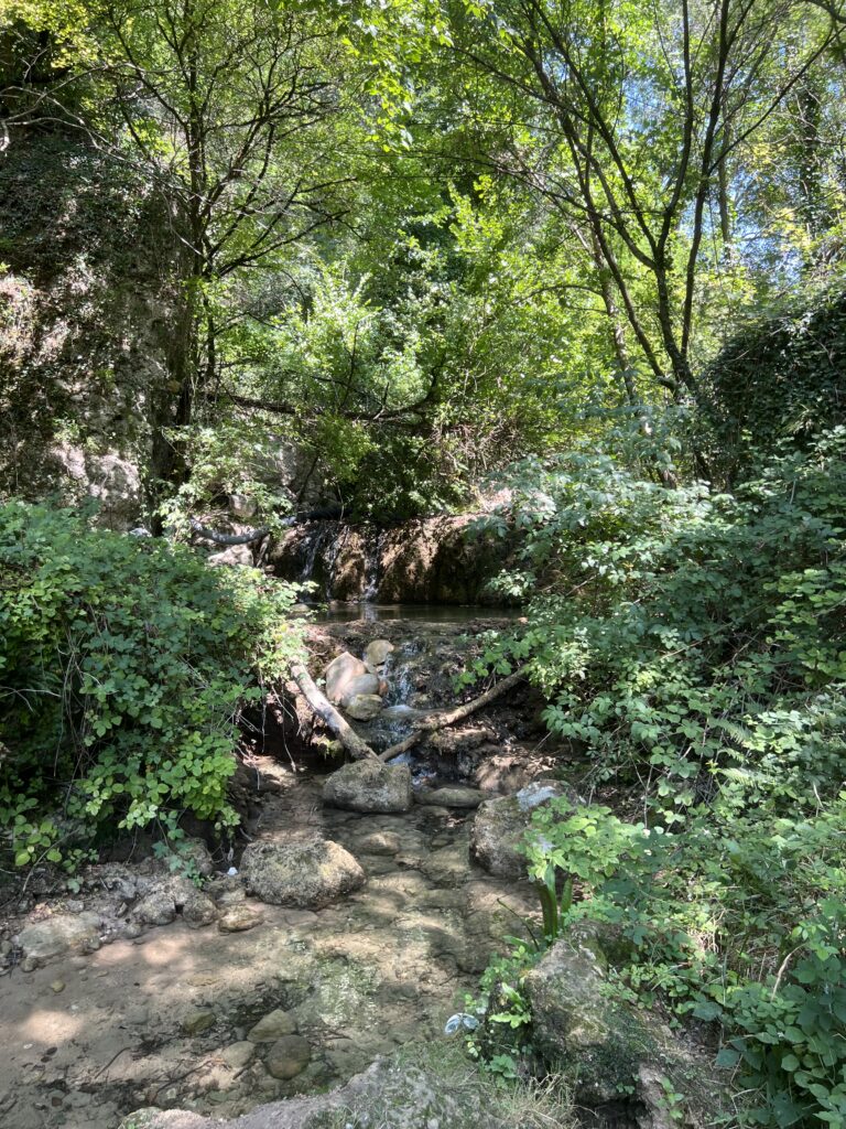
This scenic trail follows the course of a small stream historically known for the mills that once operated along its banks. Although the mills are no longer in use, the stream still flows through the valley, creating small natural waterfalls where dogs can cool off.
Even on the hottest days, the valley offers a pleasantly cooler temperature than the surrounding areas, thanks to the refreshing stream and the shade provided by the lush vegetation.
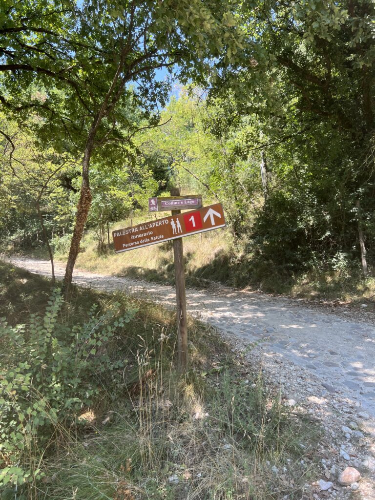
You can choose between a 4.5 km loop trail and a slightly longer 6 km route. Alternatively, you can follow the marked Valle dei Mulini trail for as long as you like and then return along the same path.
Along the route, you will find several restaurants and traditional trattorias.
Route description
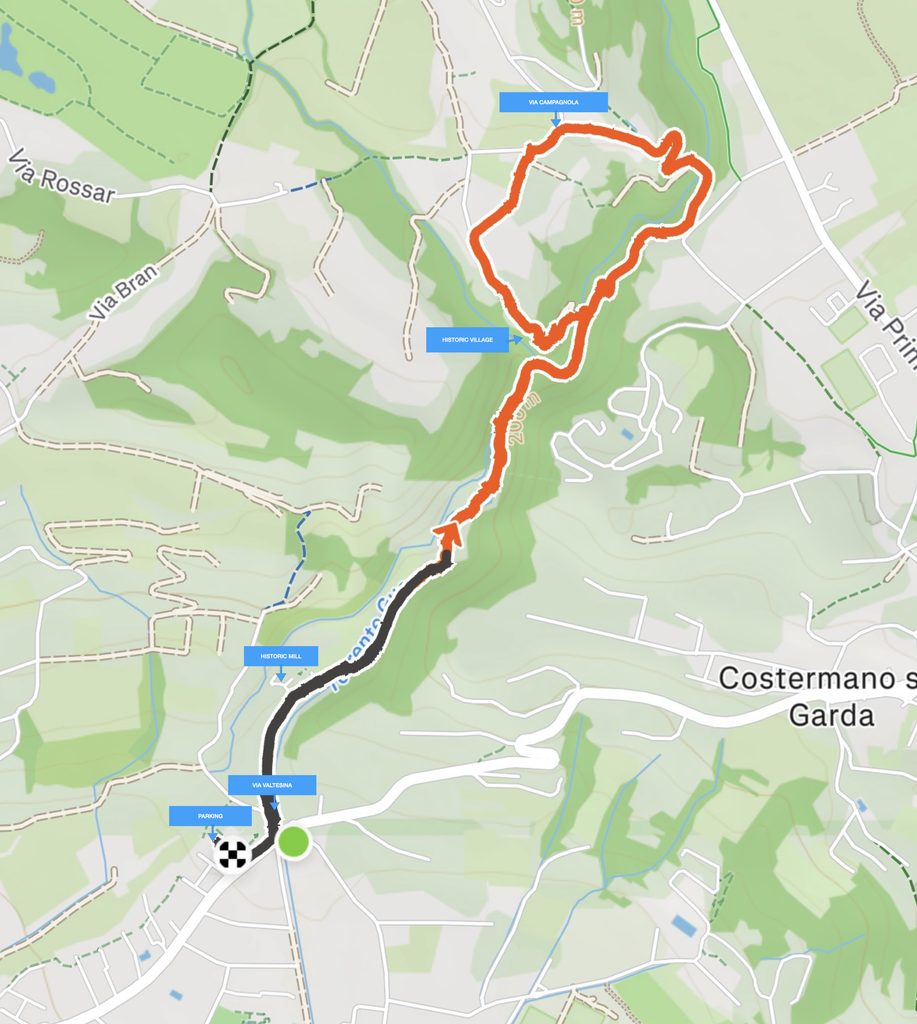
The route runs counterclockwise.
STARTING POINT
The starting point is on Via Valtesina in Garda. Look for the signs indicating “Valle dei Mulini”.
You can park your car in a car park located about 50 metres away, heading towards Garda, on the right-hand side. You will find it beyond the pavement, next to a small green area.
TOWARDS VALLE DEI MULINI
The first 200 metres follow a concrete road, which then becomes a white gravel trail.
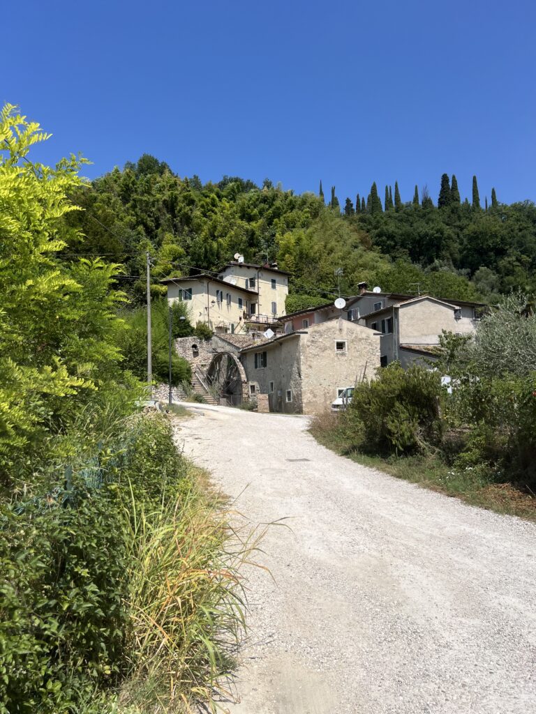
Stay on the main path and continue uphill on a gentle slope. Shortly afterwards, you will come across the first mill, no longer in use, and the stream, which you will follow for approximately 1.5 km.
CLIMB AND HAIRPIN BENDS
After a series of hairpin bends, you will reach a junction with a rocky surface, where the climb becomes steeper. Continue along the white gravel road descending to your left.
After the short descent, the trail immediately climbs again. Continue along the path on the right, which has a paved stone surface.
Here you will find two more hairpin bends. Keep an eye out for the charming decorations created by a local artisan: 🧡 hearts, 🦋 butterflies, 🌸 flowers and other decorative elements made from different materials, hanging from trees, incorporated into the wooden fence and hidden along the trail.
THE JUNCTION FOR THE TWO ROUTES
Once you have completed the climb, continue along the main path to the left until you reach the paved road.
From here, you can choose between two routes:
🟠 Short loop: 4.5 km
🟣 Long loop: 7 km
🟠 For the 4.5 km route
Turn left and follow the paved road downhill. After approximately 200 metres, you will rejoin the trail.
Take Via Campagnola, which is paved for approximately 200 metres. Even though you will see a “No Through Road” sign, the pedestrian trail continues.
After passing Relais Cà Bagò, continue to the left. After approximately 50 metres, once you have passed the houses, you will see the trail continuing to the right, along the edge of the private property.
From here, the trail begins to descend and will take you back to the initial route and then to the starting point.
🟣 LONG ROUTE: 7 KM TOTAL
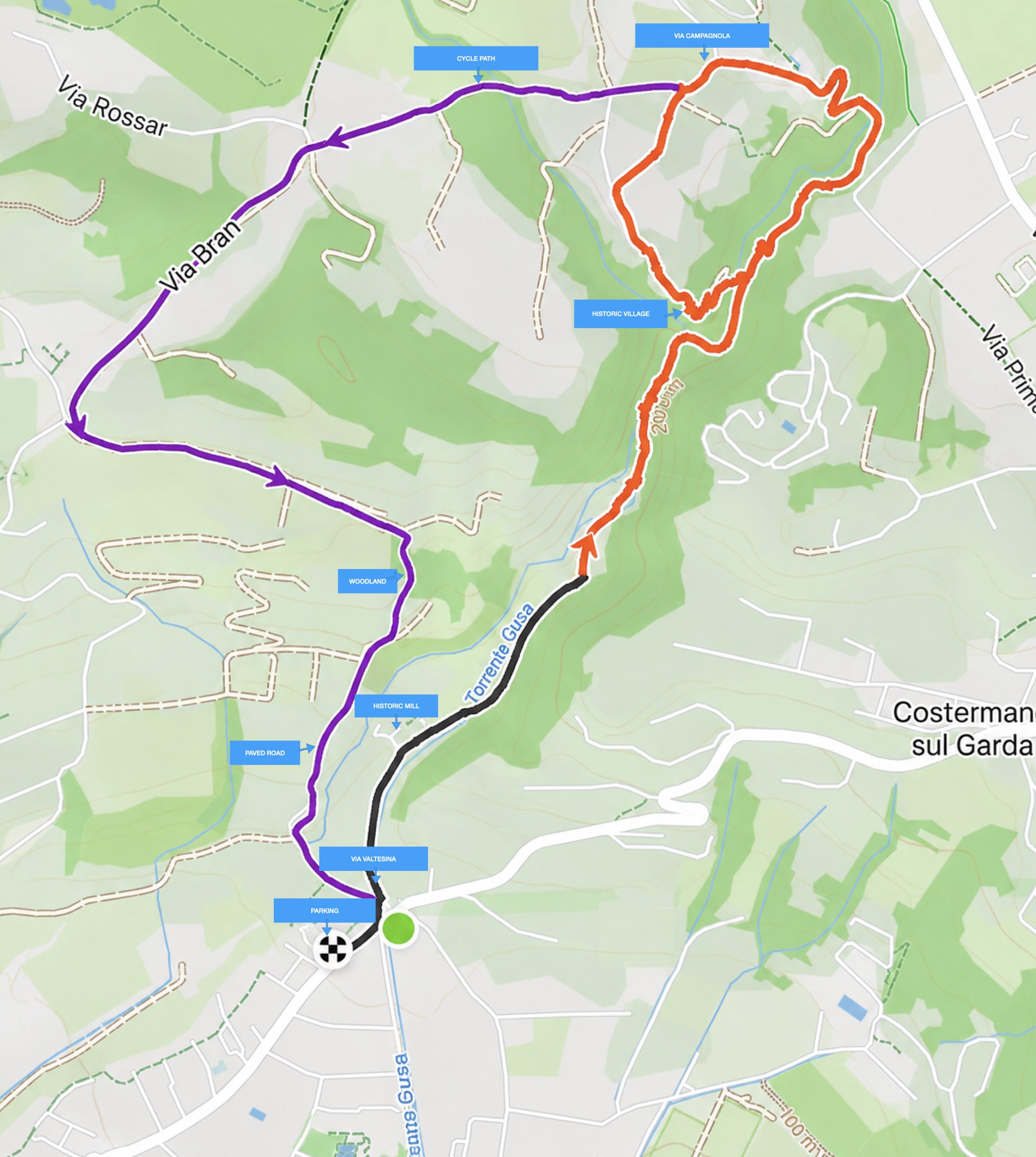
🟣 For the 7 km route (see the purple variant marked on the map above), continue along the marked cycle path.
After passing Casa Viva, which you will find on your left, continue along the route and take the road on the left.
After approximately 150 metres, you will find a dog park on your right. Continue until you reach the next junction with the paved road.
⚠️ PAY ATTENTION AT THIS JUNCTION
You will see a “Relais Rossar” sign indicating that you should turn right.
Do not follow this sign: turn left instead. Continue along the road for approximately 650 metres, until you reach a brown sign indicating the “Pignoi” trail.
Here, the route turns right and descends into the woods.
THE WOODED SECTION
For approximately 300 metres, the trail becomes steeper and the terrain changes.
It is a short, more rugged section, ideal for those who enjoy hiking.
Once you have completed the wooded section, you will reach a paved road. Continue downhill for approximately 570 metres and you will arrive back at the starting point.
What to wear and bring:
🥾 Hiking shoes
🦟 Mosquito repellent
🧢 A hat for sun protection
Have you got everything your adventure buddy needs? 🐶
💧 A bottle of fresh water, especially if your dog is not comfortable drinking from natural water sources.
🦮 A good leash. Safety first!
🍪 Some treats. I’m sure your dog will appreciate. 😋

💡 A little tip and safety reminder:
Why is part of the route shown in black on the map?
When you use apps to record and share your hikes or sports activities, some of them allow you to hide the starting and ending sections of your route.
This is a very useful feature for protecting your privacy and safety. For example, if you usually start your walks from home or from the same location, hiding this section prevents others from identifying your exact starting point.
For our route, we have therefore chosen to hide the first section, specifically to show how this simple feature can be used to share your adventures without revealing personal information.
🐾 Share your route, yes. Share your home and your habits… better not!